Underground Exploration

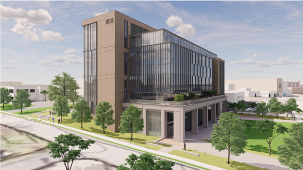
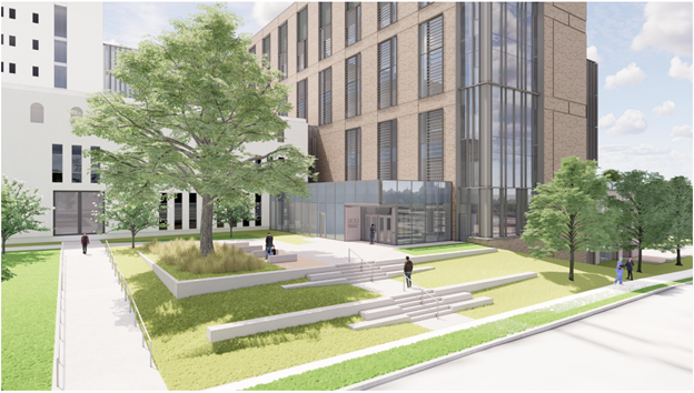
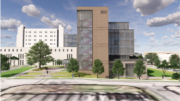
Case Study: ECU Brody School of Medicine
“Technology in the construction industry is undergoing a technological revolution, with innovative solutions emerging regularly. At Barnhill, our technology committee actively seeks out and evaluates new technologies to optimize our projects. From augmented reality and 3D printing to wearable 360 cameras, our teams are embracing cutting-edge tools to streamline processes and elevate client experiences.
The new Center for Medical Education at ECU’s Brody School of Medicine is a new seven-story, 195,000-square-foot building which will connect to the current Brody Medical Sciences Building. It will house a variety of state-of-the-art learning spaces, including two large studios, flexible collaboration areas, and a new home for simulation and standardized patient programs. Additionally, the building will provide dedicated space for gross anatomy, neurology, pathology, and immunology instruction. To accommodate the increased student population, a 500-car parking garage will also be constructed on the Health Sciences Campus.”
The Challenge
The ECU Brody School of Medicine project presented a significant challenge: the accurate identification of existing underground utilities. With the potential risks of damaging critical infrastructure, our team implemented a comprehensive investigation using state-of-the-art geophysical techniques and instrumentation.

The Solution
To ensure the success of the project, we employed the following methods:
- Acoustic Pipe Locator (APL): Pinpointed non-metallic utilities.
- Magnetics and Magnetic Gradiometry: Detected metal pipes.
- Radio Frequency (RF): Located metallic pipes.
- Ground Penetrating Radar (GPR): Locate and map both metallic and non-metallic utilities like pipes, cables, and concrete structures.
- Electromagnetics: Detected underground utilities like pipes, cables and conduit.
- Metal Detection (TDEM): Located ferrous and non-ferrous metals.
- Terrain Conductivity (FDEM): Detected fluid-filled pipes.
All equipment was integrated with GPS, Total Station, and LiDAR for precise data collection and mapping.
The Results:
After surveying 5 areas covering approximately 10.5 acres, our team detected over 20,507 linear feet (3.88 linear miles) of underground utilities. Notably, approximately 30% of the utilities identified during the field investigation were either not documented or inaccurately represented in existing as-built drawings. Additionally, around 10% of the utilities listed in the as-built and record drawings could not be located in the field.
The Impact:
By uncovering these hidden utilities, we saved ECU a significant amount of money on potential rework and avoided costly delays. Our comprehensive approach to underground utility detection demonstrated the importance of accurate data and the potential risks of relying solely on existing records.